Dominando la latitud y la longitud: cómo los globos terráqueos de gran tamaño dan vida al mundo
Latitud y longitud en globos terráqueos de gran tamaño: una guía para comprender y explorar el mundo
Imagínese poder localizar cualquier lugar de la Tierra con solo dos números. Ese es el poder de la latitud y la longitud, un sistema tan preciso que lo utilizan todos, desde los navegantes que cruzan océanos hasta los excursionistas que recorren senderos remotos. En los globos terráqueos de gran tamaño , estas coordenadas no son solo líneas; son una puerta de entrada a la exploración, la educación y el descubrimiento.
Ya seas un entusiasta de la geografía, un profesor que busca herramientas interesantes o alguien que simplemente ama la elegancia de un globo terráqueo bien diseñado, comprender la latitud y la longitud puede transformar la forma en que ves el mundo. ¿Sabías que el Meridiano de Greenwich, Inglaterra, se estableció en 1884 como el estándar global para la longitud 0°? Es un pequeño detalle, pero cambió la forma en que nos orientamos para siempre.
En esta guía, explicaremos cómo funcionan la latitud y la longitud, por qué son importantes y cómo puedes usarlas para explorar el mundo desde tu sala de estar. ¿Listo para comenzar? ¡Comencemos!
¿Qué son la latitud y la longitud?
La latitud y la longitud forman un sistema de cuadrícula global que divide la Tierra en coordenadas mensurables. Piense en ellas como el sistema de direcciones de la Tierra.
- Latitud : Son las líneas horizontales que corren paralelas al Ecuador. Miden distancias al norte o al sur del Ecuador, que van desde 0° en el Ecuador hasta 90° en los polos. Entre las líneas más importantes se encuentran el Trópico de Cáncer , el Trópico de Capricornio , el Círculo Polar Ártico y el Círculo Antártico .
- Longitud : Son las líneas verticales o meridianos que van desde el Polo Norte hasta el Polo Sur. Miden distancias al este o al oeste del Meridiano de Greenwich (longitud 0°), ubicado en Greenwich, Inglaterra. Los valores de longitud varían de 0° a 180° este u oeste.
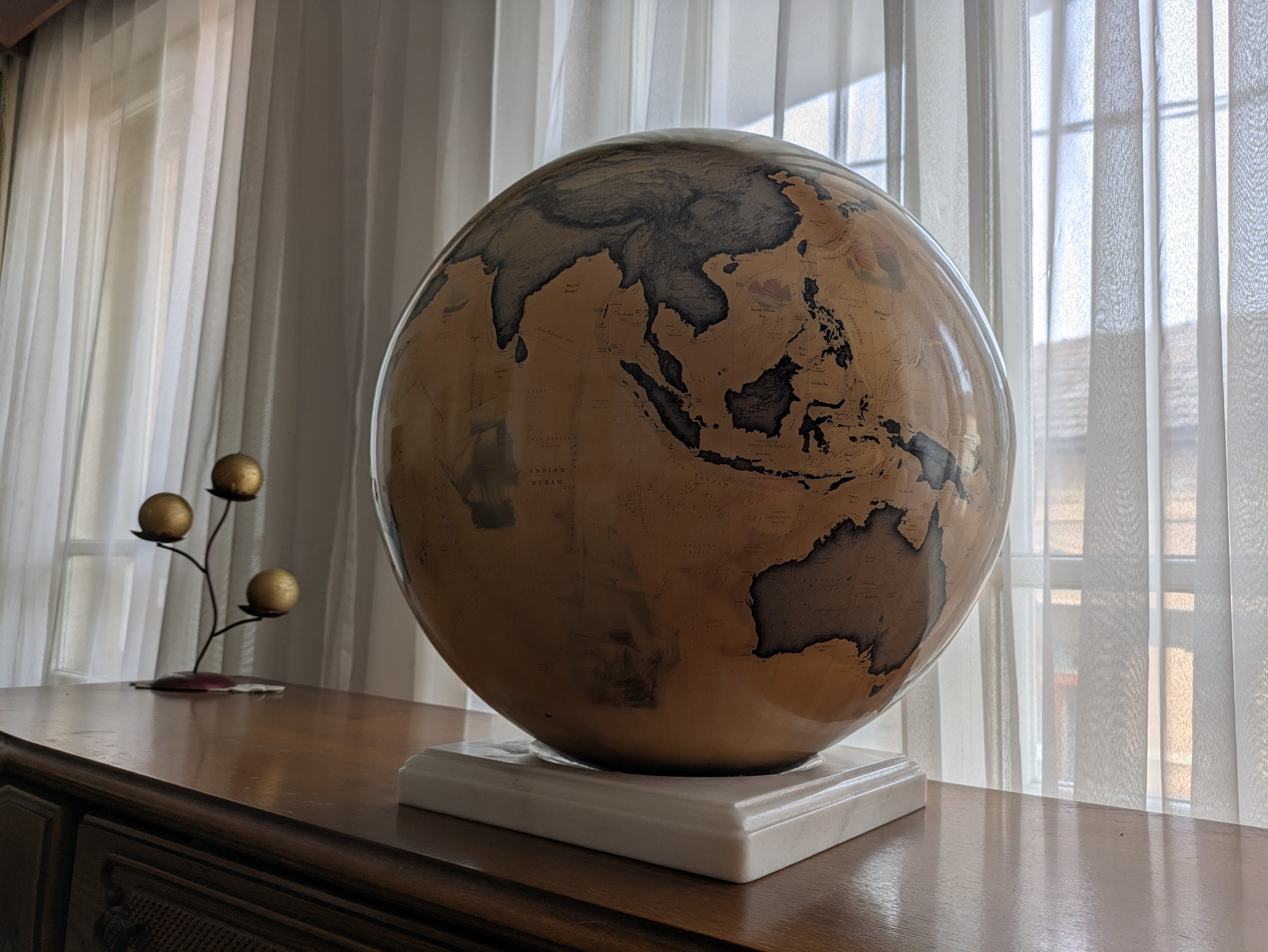
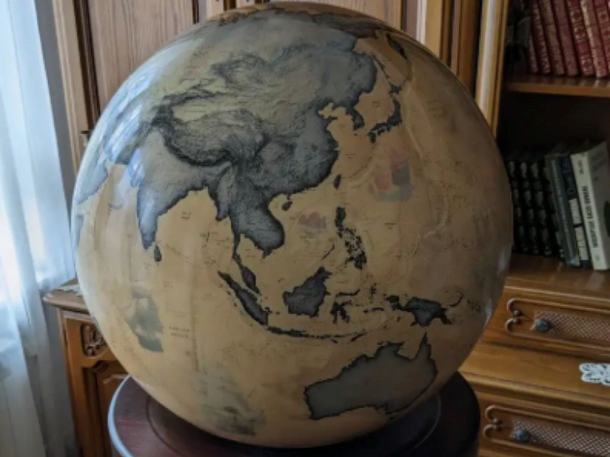
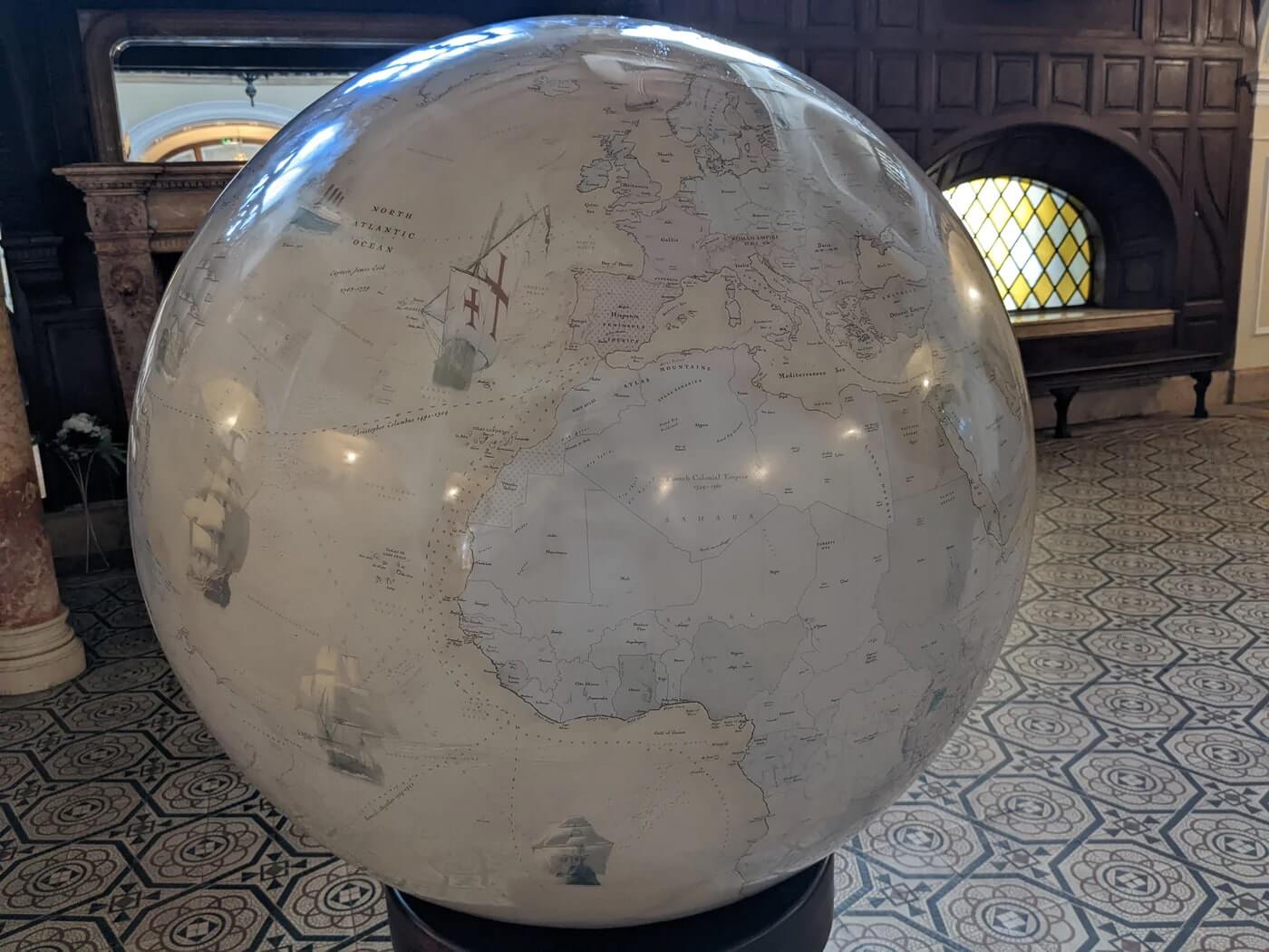
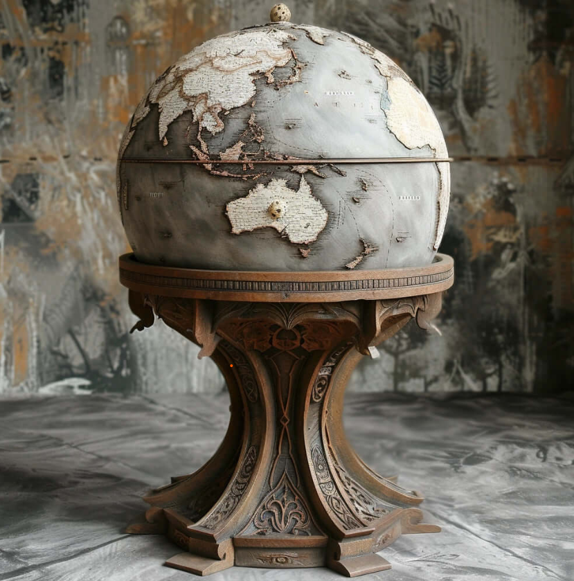
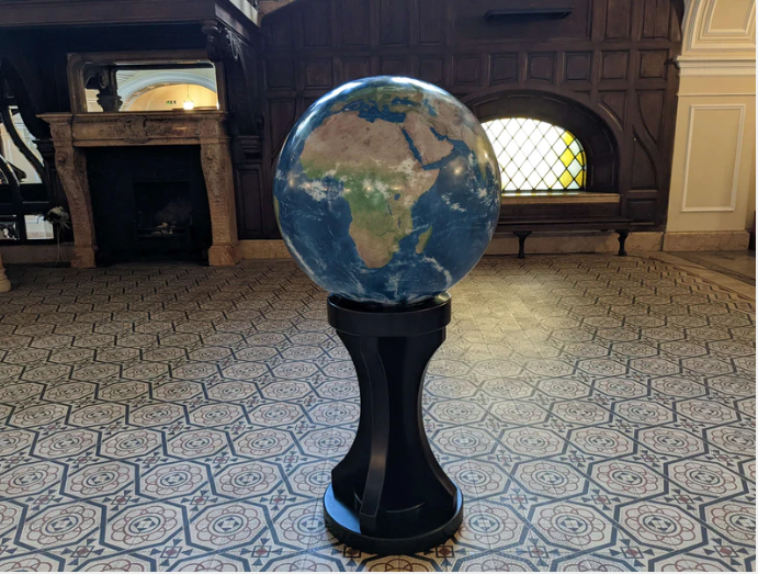
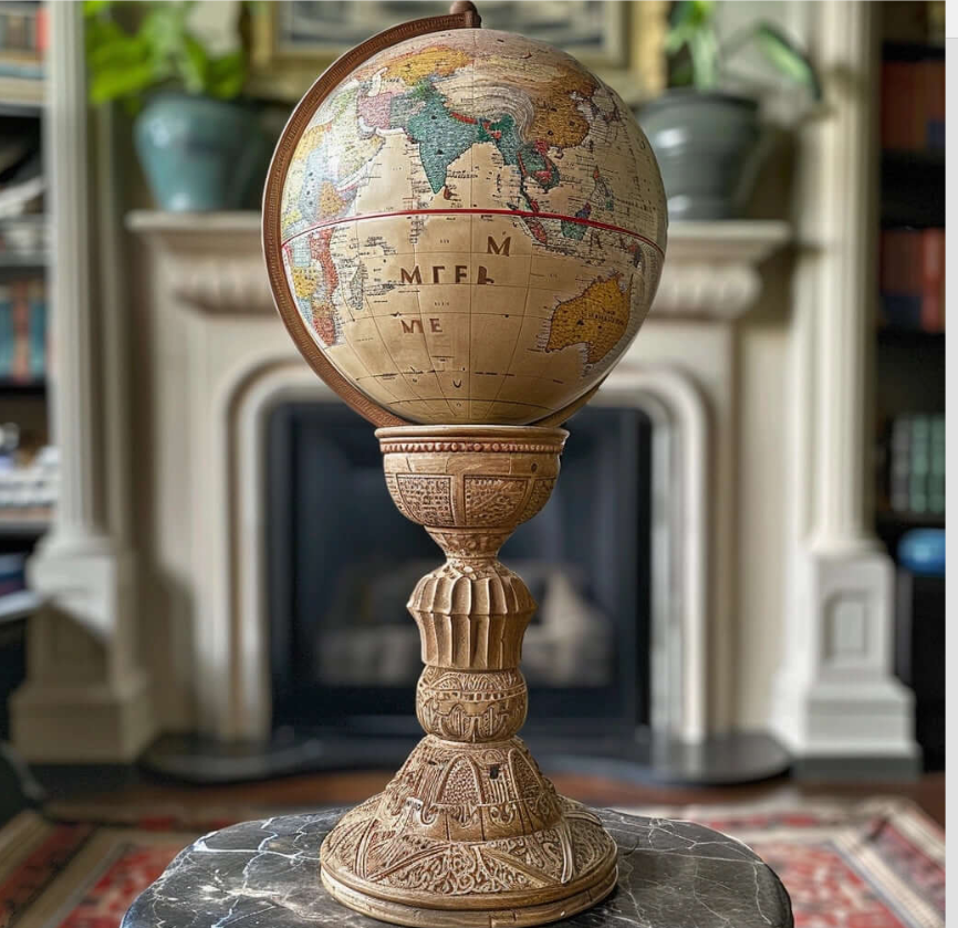
En los globos terráqueos de gran tamaño , estas líneas suelen estar intrincadamente detalladas, lo que hace más fácil visualizar y comprender la geografía de la Tierra.
¿Por qué son importantes la latitud y la longitud?
La latitud y la longitud no son solo para los cartógrafos: son herramientas que determinan cómo interactuamos con el mundo. A continuación, se explica por qué son importantes:
- Navegación : desde los antiguos navegantes que utilizaban las estrellas hasta los modernos sistemas GPS, la latitud y la longitud han sido esenciales para localizar ubicaciones exactas. Hacen que viajar sea más seguro, rápido y eficiente.
- Cartografía : estas coordenadas son la base para crear mapas y gráficos precisos. Sin ellas, no tendríamos forma de representar la superficie de la Tierra de manera confiable.
- Identificación de ubicación : ya sea que esté buscando una ciudad, rastreando una tormenta o estudiando características geológicas, la latitud y la longitud lo ayudan a identificar ubicaciones precisas.
Cómo utilizar la latitud y la longitud en un globo terráqueo grande
Usar la latitud y la longitud en un globo terráqueo grande es sencillo y gratificante. A continuación, le indicamos cómo hacerlo:
- Identificar las coordenadas : cada ubicación tiene un conjunto único de coordenadas en grados (°), minutos (') y segundos ("). Por ejemplo, la ciudad de Nueva York está aproximadamente a 40,7128° de latitud norte y 74,0060° de longitud oeste.
- Localizar latitud : Busque la línea de latitud en su globo terráqueo. Si la latitud es norte, mire por encima del ecuador; si es sur, mire por debajo.
- Localizar la longitud : Busque la línea de longitud. Si la longitud es este, mire a la derecha del meridiano de Greenwich; si es oeste, mire a la izquierda.
- Localizar la intersección : la ubicación exacta es donde se cruzan las líneas de latitud y longitud.
Los globos de gran tamaño hacen que este proceso sea aún más fácil, con sus marcas detalladas y su diseño espacioso que permiten una navegación precisa.
Preguntas frecuentes sobre latitud y longitud
¿Qué es el Meridiano de Greenwich?
El Meridiano de Greenwich es la línea de longitud de cero grados que pasa por Greenwich, Inglaterra, y divide la Tierra en los hemisferios oriental y occidental.
¿Por qué las líneas de latitud se llaman paralelas?
Las líneas de latitud se llaman paralelas porque corren paralelas al ecuador y entre sí.
¿Cómo convergen las líneas de latitud y longitud?
Las líneas de longitud, o meridianos, convergen en los polos, lo que significa que son más anchas en el ecuador y más estrechas en los polos.
¿Cuál es el significado del Trópico de Cáncer y el Trópico de Capricornio?
Estas líneas de latitud, a 23,5° N y 23,5° S, marcan los puntos más alejados al norte y al sur donde el sol puede estar directamente sobre la cabeza.
¿Por qué elegir un globo grande con marcas de latitud y longitud?
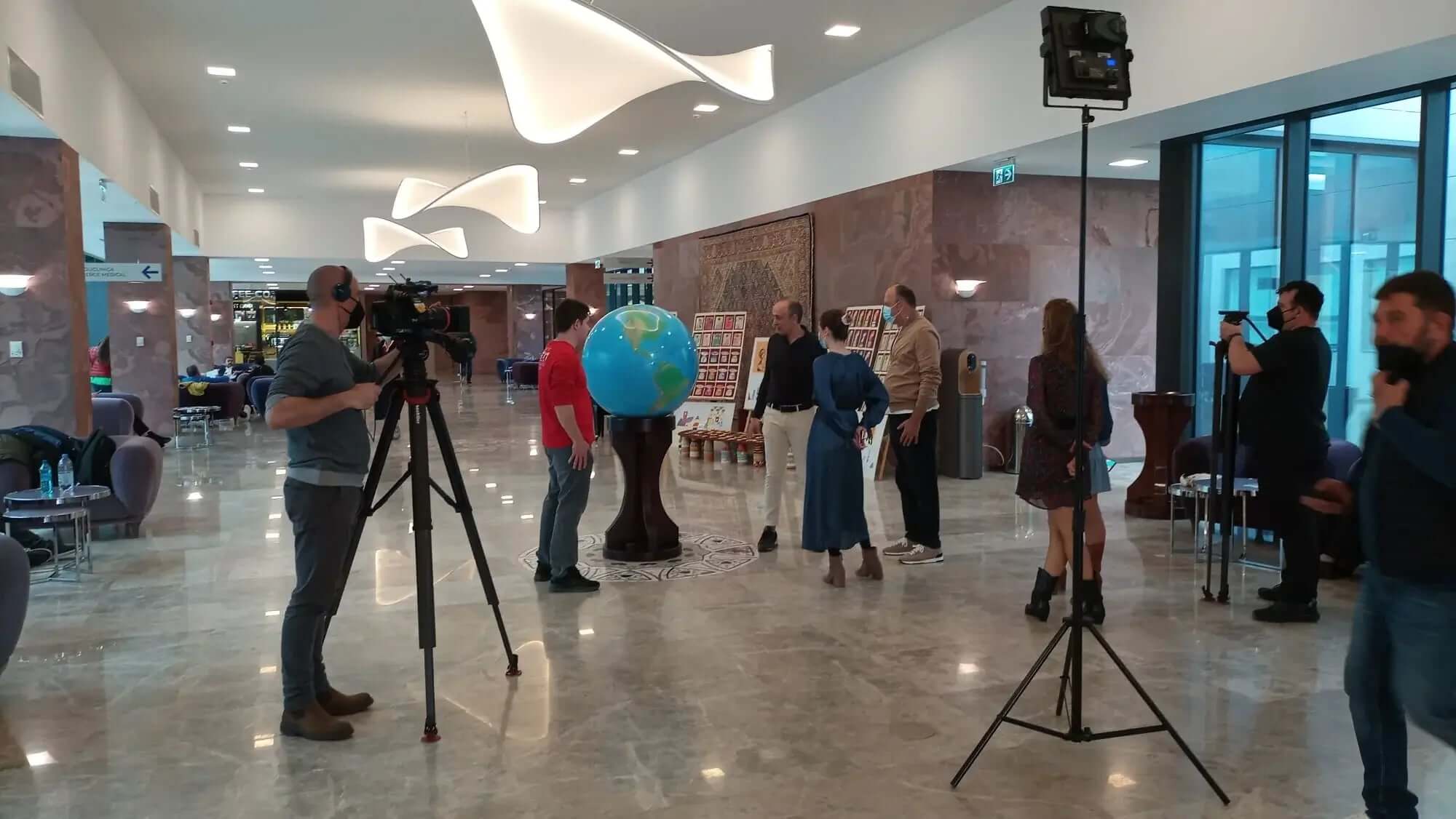
Los globos terráqueos grandes son más que simples piezas decorativas: son herramientas para aprender, explorar e inspirarse. En LargeGlobes.com , nuestros globos terráqueos grandes personalizados cuentan con marcas de latitud y longitud detalladas, lo que los hace perfectos para:
- Decoración del hogar : agregue un toque de elegancia y sofisticación a su sala de estar o estudio.
- Educación : Ayude a los estudiantes y educadores a explorar el mundo de forma práctica.
- Regalos : Regale descubrimiento con un globo terráqueo único y hecho a mano.
Explora nuestra colección
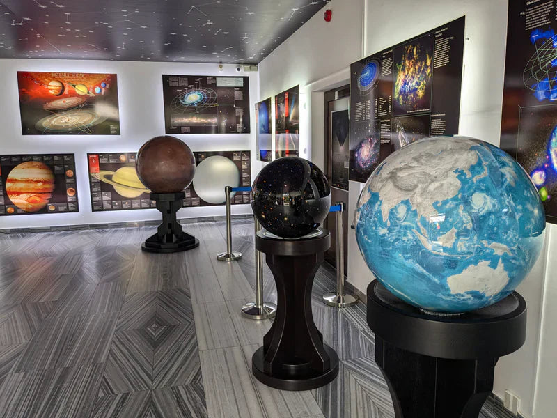
¿Está listo para sumergirse en el mundo de la latitud y la longitud? Explore hoy nuestra colección de globos terráqueos grandes y encuentre la pieza perfecta para su hogar, oficina o aula. Ya sea que le atraiga el clásico Globo Terra o el Globo celestial del Universo , hay un globo terráqueo esperando para inspirarlo.
👉 ¡Compre ahora en LargeGlobes.com y lleve el mundo (o el universo) a su espacio!
