Naviguer dans les mondes : Grands globes terrestres et carte du métro de DC
Dans un monde où la technologie mène souvent la danse, il y a une certaine enchantement à rencontrer un grand globe terrestre. C'est comme tenir la planète entière dans vos mains, une invitation à explorer les contours de notre Terre avec une connexion tactile que les écrans numériques ne peuvent tout simplement pas reproduire.
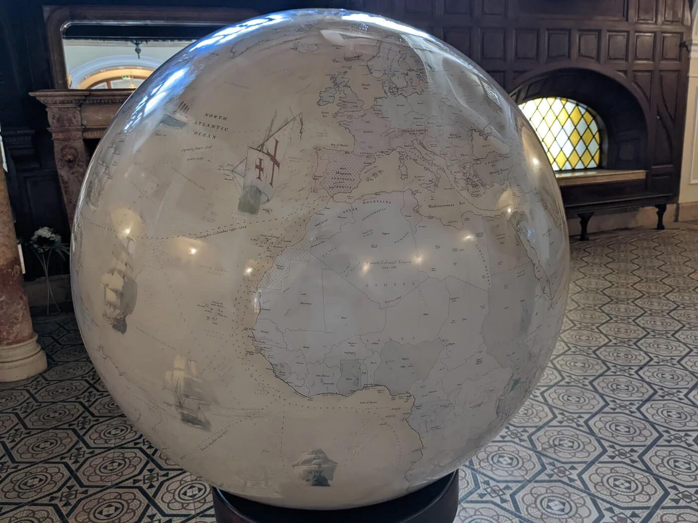
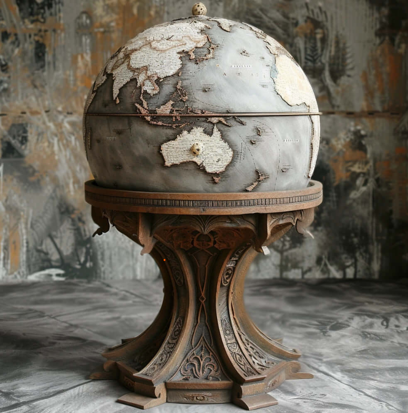
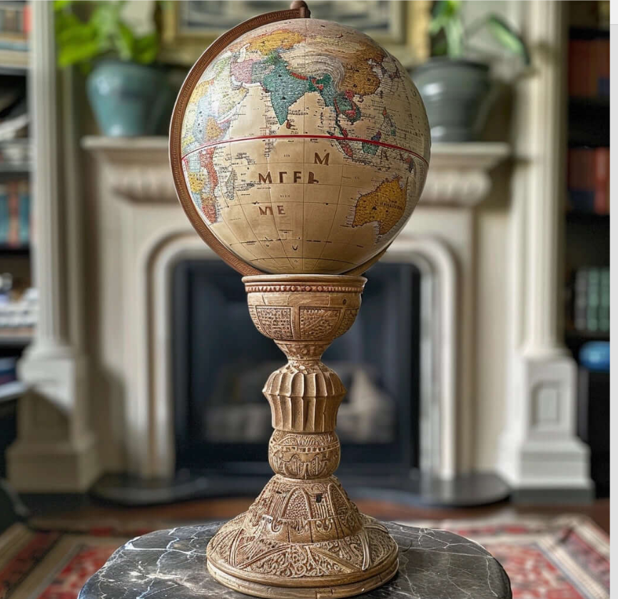
Chaque grand globe terrestre est un chef-d'œuvre, méticuleusement fabriqué par des artisans qualifiés. C'est un travail d'amour, un témoignage de la précision et de l'artisanat humain. Alors qu'ils placent délicatement chaque gore gravé, c'est comme assembler un grand puzzle, résultant en une symphonie visuelle de couleurs et de détails qui inspirerait l'émerveillement même chez l'explorateur le plus chevronné.
Ce qui distingue ces globes, c'est leur taille imposante. Ils se dressent fièrement, leur présence imposante nous rappelle doucement l'immensité de notre planète. Ils n'appartiennent pas simplement à un coin ; ils attirent l'attention, nous incitant à entreprendre un voyage de découverte.
Tracer vos doigts le long de la surface du globe est un voyage en soi. Les sommets de l'Himalaya s'élèvent comme des sentinelles, l'Amazonie serpente à travers des forêts émeraude, et les anciennes villes dévoilent leurs secrets à travers une écriture délicate. C'est une exploration tangible des merveilles de la Terre, une invitation à apprécier les subtilités de la géographie de notre planète.
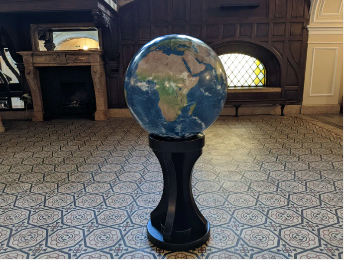
Mais les grands globes terrestres ne sont pas de simples reliques statiques du passé. Ce sont des documents dynamiques et vivants qui évoluent avec notre compréhension du monde. Avec les dernières données sur le changement climatique et les évolutions environnementales, ils deviennent des outils puissants pour comprendre les défis qui nous attendent. Ils servent d'appel à l'action, un rappel de notre responsabilité collective de protéger l'équilibre délicat de notre monde.
Dans un monde où les expériences virtuelles dominent, le grand globe terrestre se dresse comme un pont entre le numérique et le tangible. C'est un témoignage du pouvoir de la connexion physique, un rappel qu'au-delà des écrans et des pixels, il existe une planète réelle et vivante qui attend d'être explorée.
Et maintenant, imaginez combiner cette merveille tactile avec les complexités de la navigation urbaine. Entrez dans la carte du métro de DC, un plan de la capitale nationale et de ses environs. Tout comme un globe nous connecte au monde, la carte du métro est un portail vers une métropole animée, offrant un guide aux veines de transport qui pulsent sous la surface de la ville.
Alors que vous vous tenez devant un grand globe terrestre, ou que vous étudiez la carte du métro de DC, prenez un moment pour laisser la magnitude de tout cela s'imprégner. Ce ne sont pas seulement des cartes ; ce sont des passerelles vers l'exploration, des invitations à comprendre, et des outils pour naviguer dans notre monde—à la fois à l'échelle mondiale et au cœur vibrant de la capitale nationale.
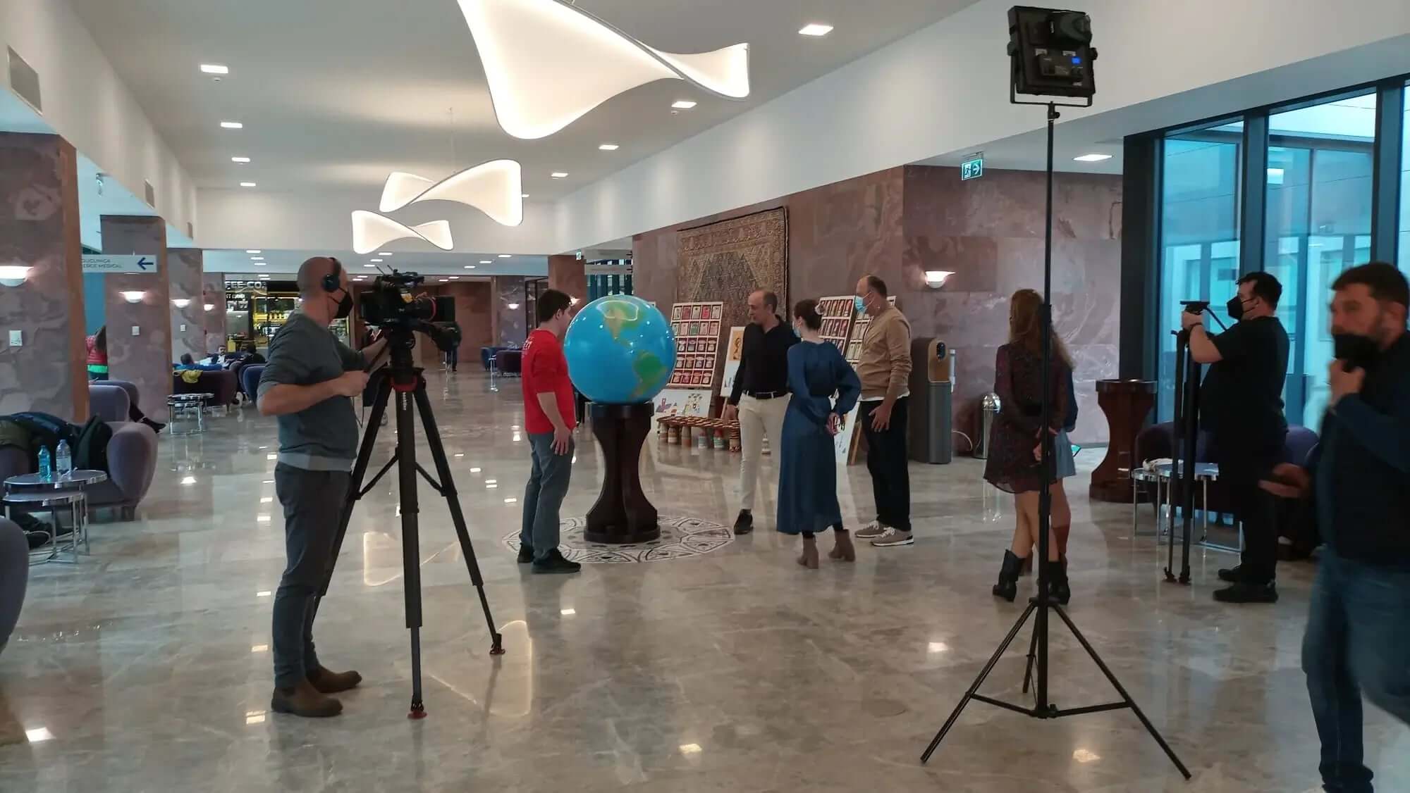
Comme vu à la télévision
Articles de blog
De la cartographie à l'art : Le voyage de la création d'un grand globe terrestre fait main
Globes terrestres personnalisés de grande taille : Comment personnaliser votre globe pour en faire une véritable œuvre d'art unique Créer un énorme globe terrestre est plus qu'un simple passe-temps...
Globes du monde faits main : le cadeau parfait pour les voyageurs, les rêveurs et les explorateurs
Dans un monde dominé par la technologie et les instruments numériques, de nombreuses personnes aspirent à des liens réels avec leurs passions. Pour ceux qui adorent voyager, étudier ou rêver de ter...
Du bureau au salon : styliser de grands globes terrestres pour des intérieurs modernes
À une époque où la décoration intérieure continue d'évoluer, l'intégration de pièces uniques et significatives est plus importante que jamais. Un tel objet qui a transcendé son rôle traditionnel es...

Des créateurs de Biodomes