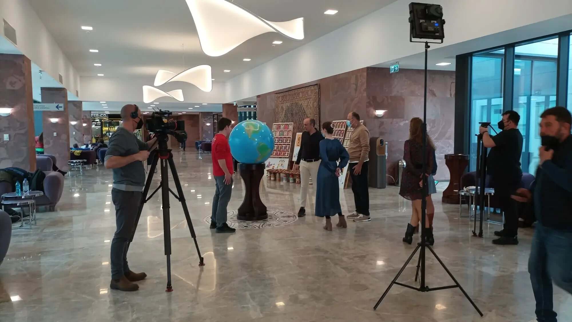
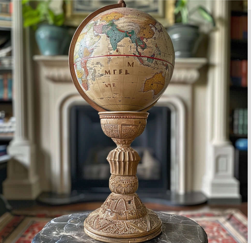
Top 10 Office World Globes
Top 10 World Globes for an Office
A visual list of amazing world globes in an office

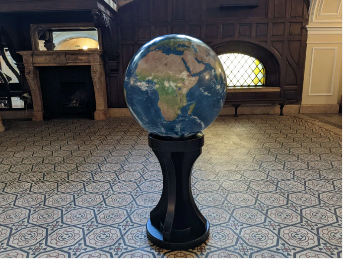
- Ultra Realistic World Globe
Both a geographical and a political globe, this ultra detailed globe shows the planet in it's most natural form, with climate zones, natural colors and a plethora of fascinating geographical facts about our planet.

- The Biggest Empires in History Globe
Highlighting expansive empires such as the Roman, Mongol, British, Ottoman, and Spanish empires, among others, with distinct colors or markings to delineate their territories at their respective peaks.

- World Statistics Globe

An information packed globe with several fascinating statistics like :
- Population density world map
- GDP per capita world map
- Risk to natural disasters world map
- Global Biodiversity Hotspots
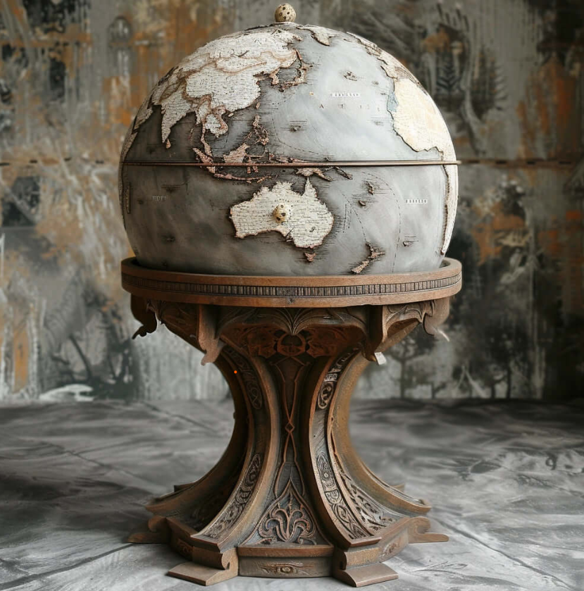
- Prehistoric World Globe - Earth 200 million years ago

A globe of the supercontinent Pangea, 200 million years ago, with approximate present day borders and some of the most famous and interesting prehistoric animals
- Mars Globe The Red Planet

An ultra detailed and accurate globe of the 4th planet from the Sun. Made with the latest NASA satellite imagery where every crater can be seen in detail. From the tallest volcano in the Solar System, to the massive Valles Marineris, a canyon system that dwarfs even the Grand Canyon on Earth.
- World War II Globe

A world globe filled with fascinating details that offer insights into the geopolitical landscape of that era, like :
- Axis and Allied Powers territories
- Battle Locations
- Occupied Territories
- Neutral Countries
As well as intriguing intriguing locations like:
- The Manhattan Project Sites
- The Eastern Front: The vast stretch of territory where Nazi Germany and the Soviet Union fought the largest land battles in history
- The Burma Road: A vital supply route between Burma (now Myanmar) and China, which served as a lifeline for the Chinese Nationalist forces against Japanese aggression
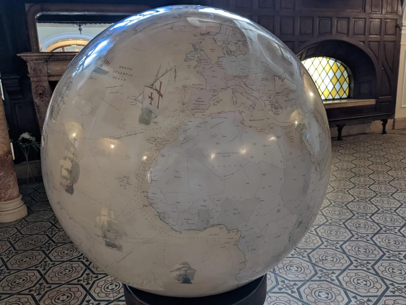
- The 16th Century: Age of Exploration World Globe

A visual narrative of one of the most transformative periods in human history, marked by unprecedented global exploration, expansion, and cultural exchange.
- Explorers' Routes: The map could highlight the major voyages of exploration undertaken by famous explorers such as Christopher Columbus, Vasco da Gama, Ferdinand Magellan, and John Cabot. Their routes across the Atlantic, Pacific, and Indian Oceans would be traced, illustrating the expansion of European maritime exploration.
- New World Discoveries: It would showcase the discovery and mapping of new lands in the Americas, including the voyages of Columbus to the Caribbean, the expeditions of Hernán Cortés in Mexico, and the exploration of South America by figures like Amerigo Vespucci and Francisco Pizarro.
- Trade Routes: The map could depict the establishment of new trade routes linking Europe, Africa, Asia, and the Americas. This includes the lucrative spice trade routes to the East Indies, the transatlantic trade between Europe, Africa, and the Americas, and the development of global trading networks.
- Colonial Empires: It would illustrate the expansion of European colonial empires, with territories claimed and settled by Spain, Portugal, England, France, and the Netherlands. This could include the establishment of colonies in the Caribbean, South America, North America, Africa, and Asia.
- Encounters with Indigenous Peoples : The map might highlight interactions between European explorers and indigenous peoples encountered in the Americas, Africa, and Asia. This could include depictions of cultural exchanges, conflicts, and the impact of European colonization on indigenous societies.
- Fauna and Flora World Globe

A rich and vibrant depiction of the Earth's diverse animal and plant species.
Key features include:
- Species Diversity
- Habitat Zones
- Ecological Hotspots such as rainforests, coral reefs, wetlands etc
- Endangered Species
- The 8th Century: Islamic Golden Age World Globe

A visual tribute to the remarkable achievements and legacy of the Islamic civilization during this pivotal period in history.
- Islamic Caliphates: The map would showcase the extent of the Islamic Caliphates during the 8th century, including the Umayyad Caliphate, which spanned from Spain to Central Asia, and the Abbasid Caliphate, centered in Baghdad.
- Cities of Learning: It would feature renowned centers of learning and scholarship, such as Baghdad, Cordoba, and Cairo, where scholars from diverse backgrounds made groundbreaking advancements in various fields.
- Scientific Advancements: The map would highlight achievements in science, mathematics, and astronomy, including the preservation and translation of classical Greek and Roman texts, the development of algebra and trigonometry, and astronomical observations and calculations.
- Cultural Exchange: It would illustrate the vibrant cultural exchange that took place during the Islamic Golden Age, as scholars from the Islamic world interacted with scholars from Byzantium, Persia, India, and China, leading to the transmission of knowledge and ideas across civilizations.
- Architectural Marvels: The map might showcase iconic architectural achievements of the Islamic Golden Age, such as the Great Mosque of Cordoba, the Dome of the Rock in Jerusalem, and the Alhambra in Granada, which exemplify the fusion of Islamic, Byzantine, and Persian architectural styles.
- Trade Networks: It would depict the expansion of Islamic trade networks, including the Silk Road, Indian Ocean trade routes, and Mediterranean trade, which facilitated the exchange of goods, technologies, and cultural influences between the East and West.
- Literary and Artistic Contributions: The map could highlight the flourishing of literature, poetry, calligraphy, and art during the Islamic Golden Age, including the works of renowned poets like Rumi and Omar Khayyam, and the development of intricate geometric patterns in Islamic art and architecture.
- Technological Innovations: It would showcase technological innovations such as advancements in irrigation techniques, the development of papermaking, and improvements in textile production, which contributed to the prosperity and cultural richness of the Islamic world.
- 3rd Millennium BCE World Globe

A fascinating opportunity to explore ancient civilizations and cultures.
Ancient Mesopotamia (3rd millennium BCE):
- The cradle of civilization, Mesopotamia saw the rise of the Sumerians, Akkadians, Babylonians, and Assyrians.
Ancient Egypt (3rd millennium BCE - 1st millennium BCE):
- The Nile Valley was home to one of the most enduring civilizations in history.
Early Chinese Civilization
Mediterranean Cultures:
- Minoan Civilization and Early Aegean Civilizations
Central Asian Cultures along the banks of the Amu Darya River
As seen on TV
Blog posts
From Cartography to Art: The Journey of Crafting a Handmade Large World Globe
Custom Large World Globes: How to Personalize Your Globe for a Truly Unique Masterpiece Making a huge world globe is more than simply a hobby; it's a fascinating trip that combines artistic beauty ...
Handmade Large World Globes: The Perfect Gift for Travelers, Dreamers, and Explorers
In a world dominated by technology and digital instruments, many people yearn for real links to their passions. For those who adore traveling, studying, or dreaming about distant lands, handmade la...
From Office to Living Room: Styling Large World Globes for Modern Interiors
In an era where home decor continues to evolve, the integration of unique and meaningful pieces is more important than ever. One such item that has transcended its traditional role is the Large Wor...

From the creators of Biodomes